This is an easy trail (first 2/3rds is rated 2/10, last 1/3rd is 3/10) that links up the top of Azusa Canyon (Hwy 39) with Angeles Crest Hwy (Hwy 2) about 15 miles north of interstate 210. It's a bit over 26 miles long, with a few miles of side trails. The side trails are pretty rocky and the brush is tight, so you come out with lots of pin stripes. I took my brother-in-law for a 6 hour ride. Spent most of the time driving, so there's not that many pictures. This would be my second real voyage off-road, just having got the truck the month prior.
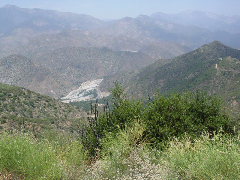
Looking back onto the San Gabriel Canyon OHV park entrance. This is where you get the permit and gate combos to run this trail. The trail begins climbing immediately and it doesn't take long to get above 4000'. You can see the trail we came up in the upper right corner.
At the first area to turn out since the staging area at the bottom there's a big concrete emergency water tank for fighting fires.
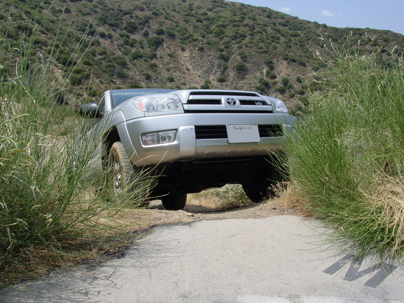
A shot back at the trail from the top of the tank:
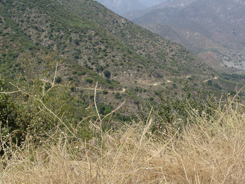
Typical shot up the trail's first long climb.
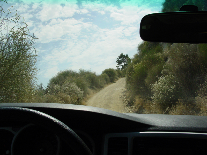
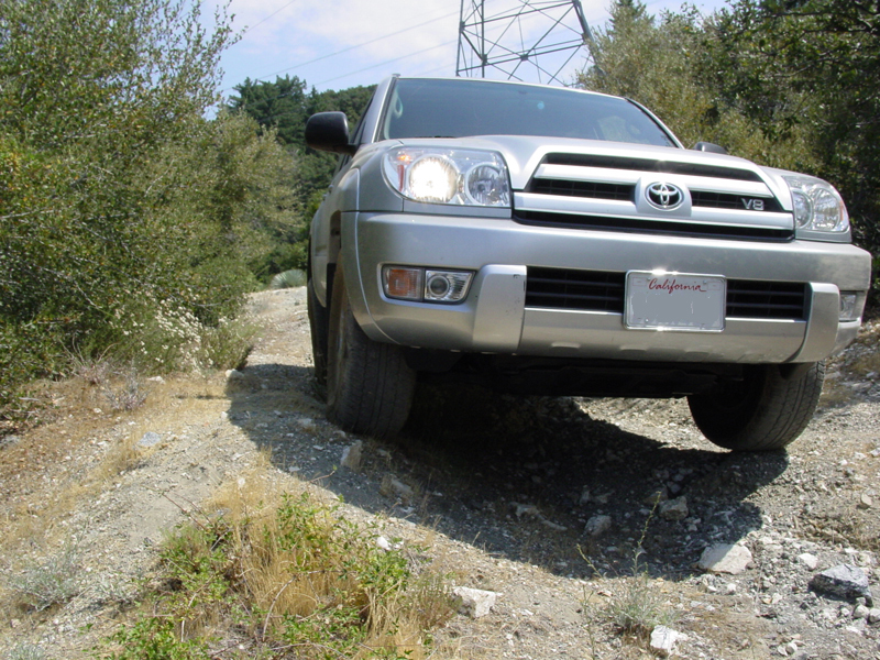
There some places where you get really close big electricty transmission towers. This part had some little whoops. Headlights are on because there were people riding ATVs up here and I wanted to be visible to them.
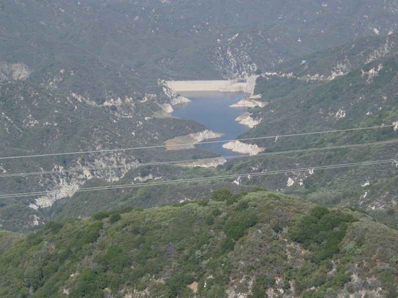
Cogswell Reservoir is visible from one of the ridges.
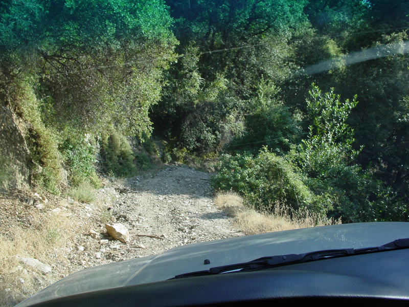
This would be one of the side trails.
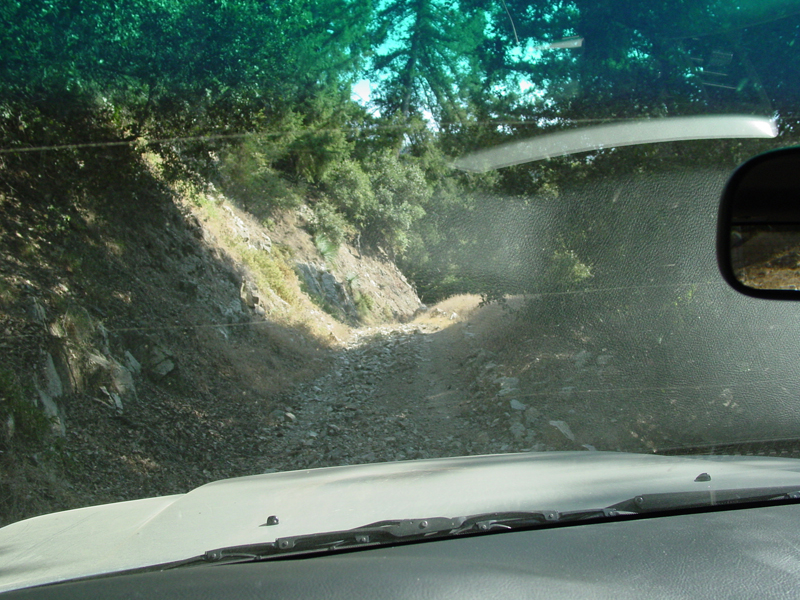
And another.
Back on the main trail.
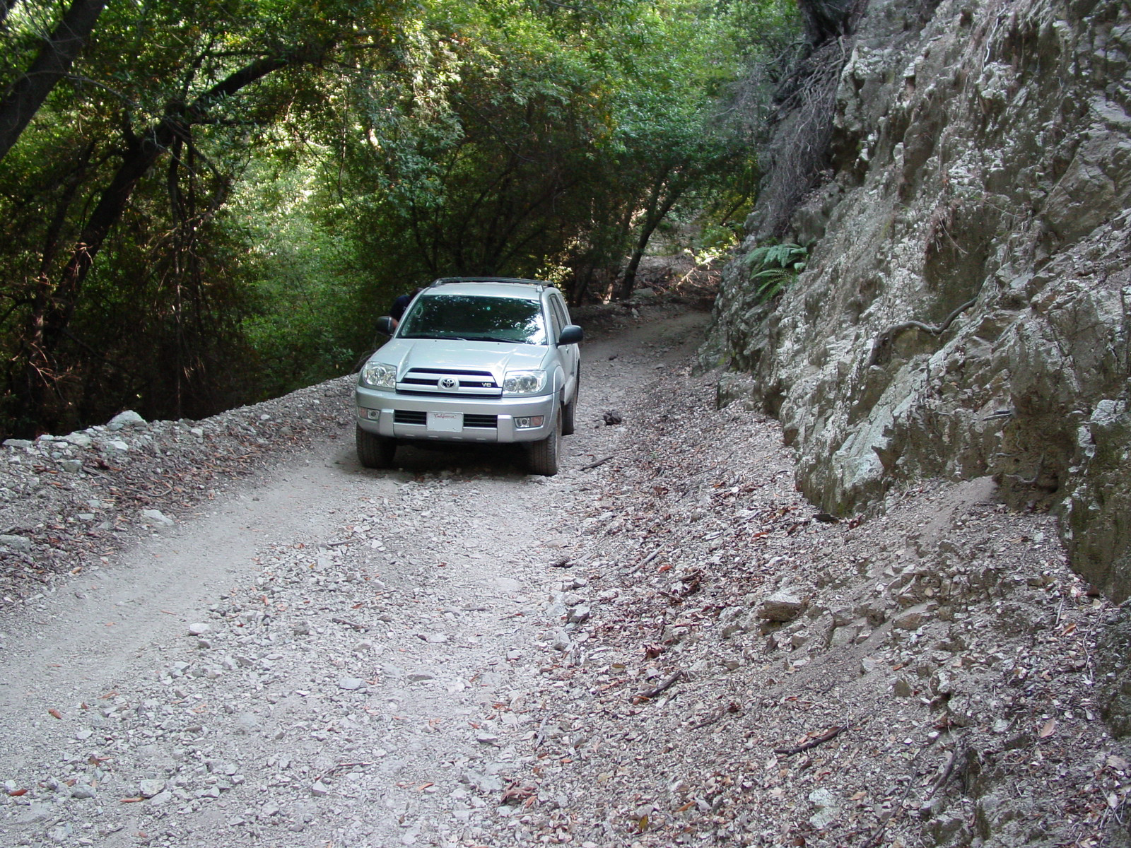
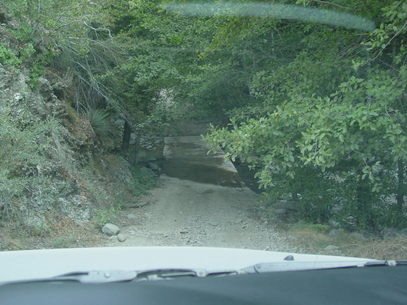
With a couple miles to go to the end, there's a small ford. Not much water in the middle of July, however.
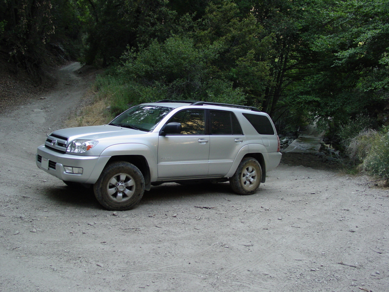
Just passed the ford. Gotta love silver, my truck is FILTHY, but you can't even tell.
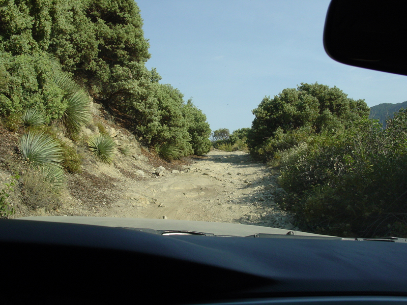
Final climb out of the last canyon.
Nice little obsticle.
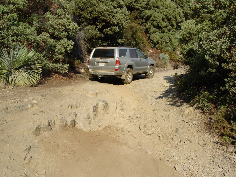
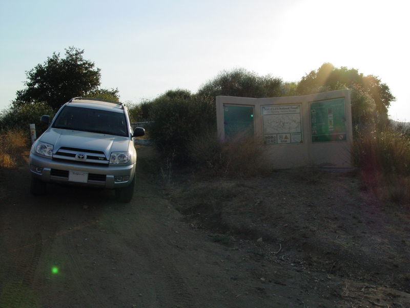
The end!
 |